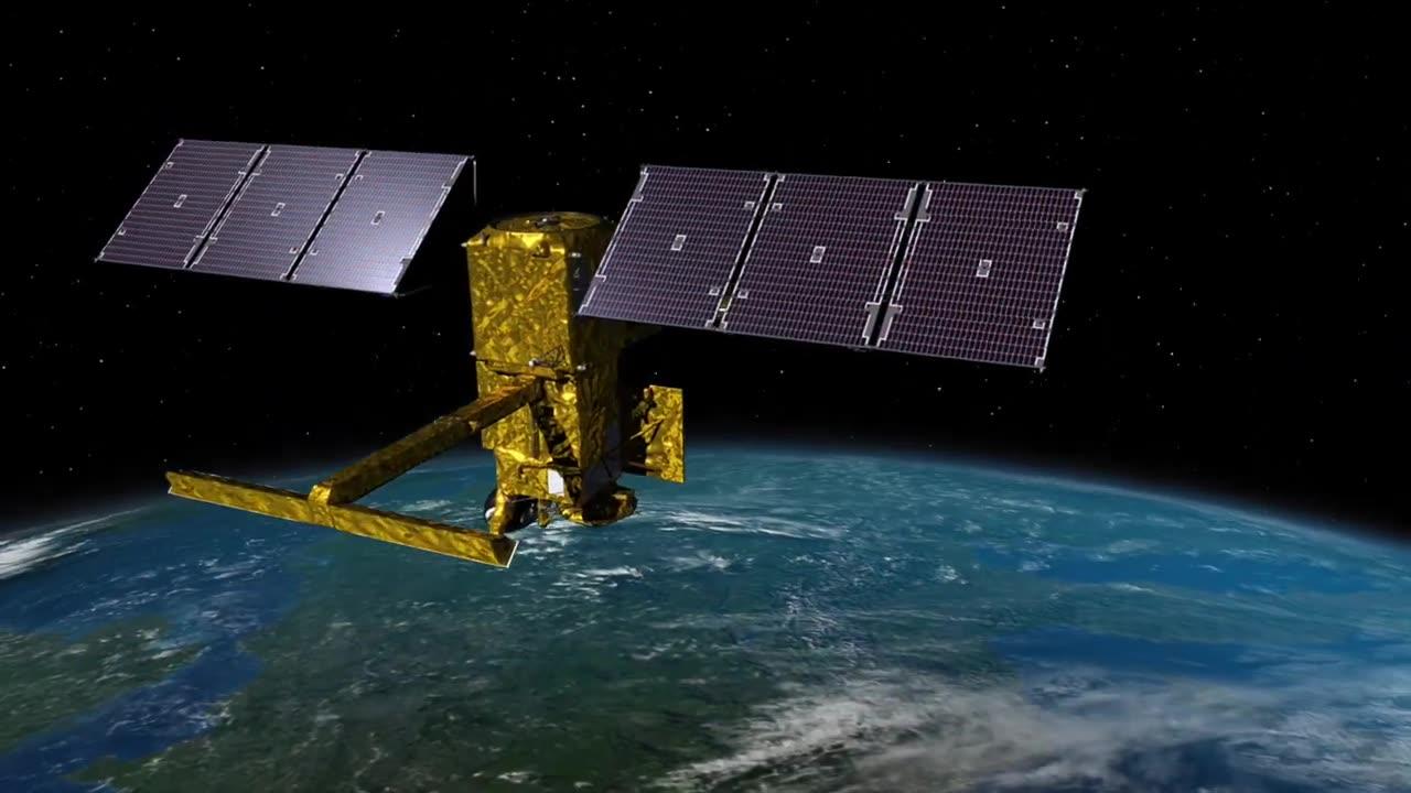
Discover the groundbreaking SWOT (Surface Water and Ocean Topography) mission by NASA and CNES that aims to empower communities with invaluable insights for a better future.
This Earth science satellite will revolutionize water management by measuring water heights in lakes, rivers, reservoirs, and oceans.
As climate change intensifies the water cycle, SWOT data will enhance flood forecasts, monitor drought conditions, and equip water management agencies, civil engineers, and disaster preparedness organizations with essential information.
Watch how SWOT data is transforming water management and protection across different regions, from Oregon to Alaska and the Mississippi River Delta.
Launching in December 2022, this collaborative effort involving NASA, CNES, and others promises to reshape our understanding of Earth's water dynamics.
Learn more about the mission at https://swot.jpl.nasa.gov.


