TROPICAL STORM IAN STRENGTHENING; PROJECTED PATH SHIFTING SLOWLY EAST... Tropical Storm Ian now has maximum sustained winds of 60 mph as the storm continues to gain strength on this Sunday evening.
Ian is located in the northwestern Caribbean Sea and is moving northwest.
A Hurricane Warning is in effect for Grand Cayman and for parts of western Cuba as Ian is explicitly forecast to become a hurricane overnight or on Monday.
Ian will likely become a major hurricane early this week.
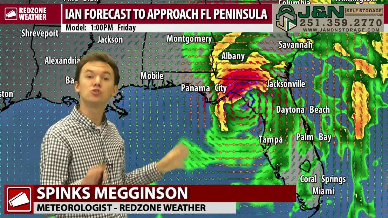
The forecast trend today has been GOOD for south Alabama and northwest Florida and NOT GOOD for our friends in the Florida Peninsula near Tampa, Cedar Key, Orlando, and Ft.
Myers.
The projected path of Ian has shifted a bit to the east.
More track adjustments are expected in the days ahead.
While forecast confidence is still not exactly high in the 4-5 day range, confidence IS rising that Ian will be an issue for parts of the Florida Peninsula and Big Bend region.